File:Philippines location map (Mindanao).svg

此 SVG 檔案的 PNG 預覽的大小:656 × 486 像素。 其他解析度:320 × 237 像素 | 640 × 474 像素 | 1,024 × 759 像素 | 1,280 × 948 像素 | 2,560 × 1,897 像素。
原始檔案 (SVG 檔案,表面大小:656 × 486 像素,檔案大小:3.66 MB)
.svg)
摘要
| 描述 |
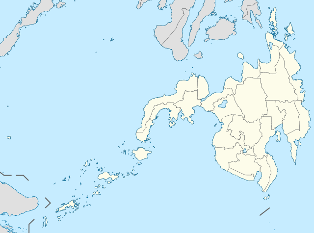
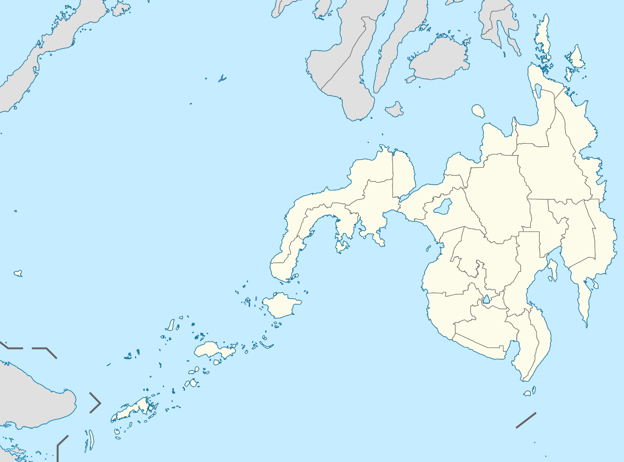
English: Location map of the Philippines (Mindanao)
Equirectangular projection based on the parallel of 10°43' N
|
| 日期 | |
| 來源 | File:Philippines location map (square).svg |
| 作者 | User:Hellerick |
| 其他版本 |
本檔案衍生自: Philippines location map (square).svg: .svg) |
授權條款
此檔案採用創用CC 姓名標示-相同方式分享 3.0 未在地化版本授權條款。
- 您可以自由:
- 分享 – 複製、發佈和傳播本作品
- 重新修改 – 創作演繹作品
- 惟需遵照下列條件:
- 姓名標示 – 您必須指名出正確的製作者,和提供授權條款的連結,以及表示是否有對內容上做出變更。您可以用任何合理的方式來行動,但不得以任何方式表明授權條款是對您許可或是由您所使用。
- 相同方式分享 – 如果您利用本素材進行再混合、轉換或創作,您必須基於如同原先的相同或兼容的條款,來分布您的貢獻成品。
檔案歷史
點選日期/時間以檢視該時間的檔案版本。
| 日期/時間 | 縮圖 | 尺寸 | 使用者 | 備註 | |
|---|---|---|---|---|---|
| 目前 | 2021年5月17日 (一) 15:11 | | 656 × 486(3.66 MB) | Petriolo | Reverted to version as of 05:35, 3 May 2021 (UTC) The new administrative borders are based from the Philippine government websites (https://www.geoportal.gov.ph/; http://noah.up.edu.ph/), and is deemed accurate. These new files have reliable sources and there's no "beauty" in it if it is inaccurate in the first place. |
| 2021年5月16日 (日) 22:02 |  | 656 × 486(2.22 MB) | AichiWikiFixer | Reverted to version as of 14:34, 27 October 2017 (UTC) (Borders seen as ugly) | |
| 2021年5月3日 (一) 13:35 |  | 656 × 486(3.66 MB) | Petriolo | updated with NAMRIA borders | |
| 2017年10月27日 (五) 22:34 |  | 656 × 486(2.22 MB) | Mliu92 | Changed crop to add missing island. | |
| 2017年10月27日 (五) 01:23 |  | 573 × 573(2.22 MB) | Mliu92 | User created page with UploadWizard |
檔案用途
沒有使用此檔案的頁面。
全域檔案使用狀況
以下其他 wiki 使用了這個檔案:
- azb.wikipedia.org 的使用狀況
- en.wikipedia.org 的使用狀況
- Moro Gulf
- Sanga-Sanga Airport
- Sayak Airport
- Jolo Airport
- Basilan State College
- 1976 Moro Gulf earthquake
- List of Philippine Basketball Association arenas
- Sulu State College
- Tawi-Tawi Regional Agricultural College
- 2002 Mindanao earthquake
- Mindanao State University–Tawi-Tawi College of Technology and Oceanography
- Notre Dame of Jolo College
- 1918 Celebes Sea earthquake
- Mindanao State University–Sulu
- Module:Location map/data/Mindanao
- Module:Location map/data/Mindanao/doc
- Jolo Cathedral
- fa.wikipedia.org 的使用狀況
- fr.wikipedia.org 的使用狀況
- id.wikipedia.org 的使用狀況
- ilo.wikipedia.org 的使用狀況
- ja.wikipedia.org 的使用狀況
- ko.wikipedia.org 的使用狀況
- lv.wikipedia.org 的使用狀況
檢視此檔案的更多全域使用狀況。
.svg)
.svg)